June 28, 2013
Novel approaches and national datasets developed to help quantify and predict marine biodiversity are being applied by NERP Marine Biodiversity Hub scientists in a range of new locations and environments to inform planners and managers.
These outputs from the CERF Marine Biodiversity Hub have been used by the Department of Sustainability, Environment, Water, Population and Communities (DSEWPaC) to help define the boundaries of the Commonwealth Marine Reserve Network.
Now they are being applied in NERP Hub projects to:
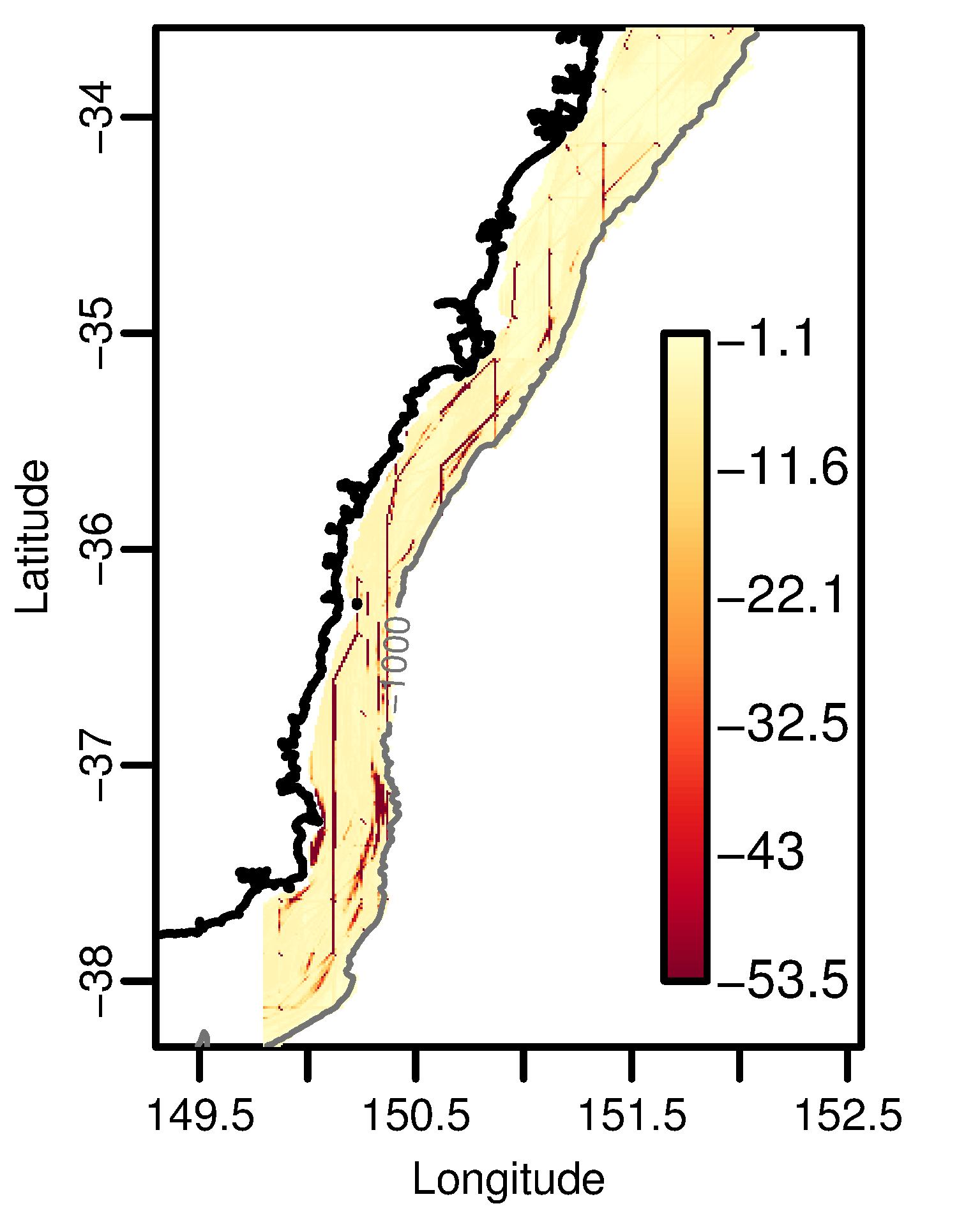
- examine the effects of spatial management for conserving epibenthic biodiversity in the South-east Marine Region, and threatened shark species around southern Australia;
- assist in the design of new biodiversity surveys in Western Australia; and
- explore the cumulative effects of pressures on marine biodiversity.
The new statistical methods will also be applied to datasets collated from nations with an interest in the Antarctic region. This joint project with the University of Tasmania (through the Institute for Marine and Antarctic Studies) and the Australian Antarctic Division, aims to better understand the distribution of marine biodiversity around Antarctica.
Spatial predictions of biodiversity attributes generated as part of the CERF Hub have been provided to South Australia’s Department of Environment, Water and Natural Resources to guide the management of South Australian Marine Parks. This information will aid in the development of monitoring programs and assist in the establishment of baseline data.
Maps used by governments are the product of extensive methods development and will be a valuable asset for future research and advice. They incorporate data from Soviet and United Kingdom exploratory fishing in the 1960s, to recent deep-sea research off Western and North-western Australia.
The data and methods are accessible on national and international databases. Areas where data were lacking and predictions most uncertain have been identified as a priority for future biological surveys so that scientists can continue to improve the precision with which advice is provided to managers and planners.
New methods for biophysical characterisation and prediction of biodiversity composition have been applied in Canada, New Zealand and Iceland to assist with marine mapping, and to support planning for spatial management.
Images:
- Graph: Cumulative effect of trawling, on the East coast of Australia, of a multi-species group including gulper sharks: Southern Dogfish and Harrisson’s Dogfish. Larger negative numbers indicate larger impact.
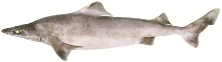
- Southern Dogfish Centrophorus zeehaani. Image: CSIRO
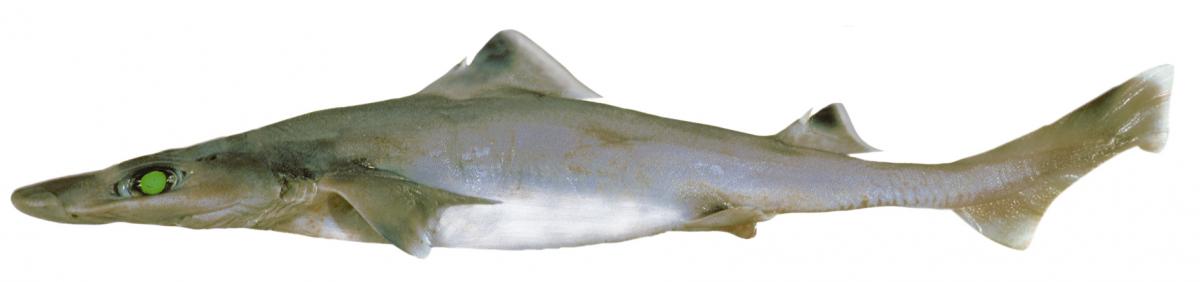
- Juvenile Harrisson's Dogfish Centrophorus harrissoni Juvenile. Image: CSIRO
Further reading:
Access the portfolio of supporting papers for this story by using the Advanced Search link on the Marine Hub's home page and select the tag filter predictive mapping
Contact:
Dr Piers Dunstan, CSIRO
- Log in to post comments