August 8, 2018
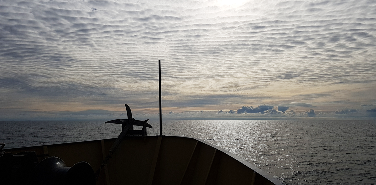
Five days of swath mapping in near gale-force conditions has rewarded scientists with intricate imagery of extensive, mobile dune fields rippling across the Boags Marine Park seabed north of Tasmania.
The remarkable swatch of Bass Strait – part of the South-east network of offshore Australian Marine Parks – was mapped in July by a Marine Biodiversity Hub team in partnership with Parks Australia.
Survey leader Neville Barrett of the Institute for Marine and Antarctic Studies says some of the dunes in the park were more than 12 metres high and very steep on the eastern side, possibly due to asymmetric current flows.
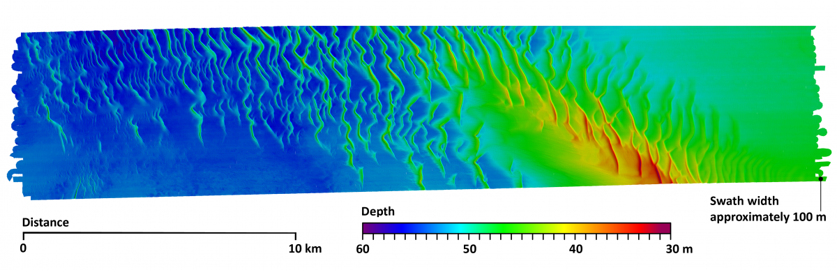
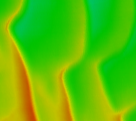
‘The mobile dunes that cover this vast area of seabed are formed by a combination of relatively shallow depths (40–80 m) and the strong tidal currents that sweep Bass Strait,' Dr Barrett says.
‘Tasmania’s northern coastline has a tidal rise and fall of 2.5–3 m. This gain and loss of water is made up of water entering and exiting Bass Strait at the eastern and western entrances.
‘That huge volume of water creates currents in excess of two knots in places, strong enough to pick up sand grains and transport them, just like at a windy beach or in the desert.
‘Eventually this process erodes the steep faces of dunes and deposits material in the more sheltered hind-dune area.'

Dr Barrett says the dunes are unlikely to support complex invertebrate cover such as the sponge gardens seen in the Beagle Marine Park to the north-east of Boags.
Apart from the crustaceans, polychaete worms and molluscs that live in and on the sediments, the Park possibly hosts benthic fishes such as flathead, skates, rays and latchets.
This can be explored with follow-up biological sampling now that mapping during the Marine Biodiversity Hub survey has revealed the primary habitat features.
The clear differences in habitat and biodiversity in adjacent Australian Marine Parks highlights the need to survey more of them: each will have its own particular features, varying with depth.
A more detailed picture of the different plants, animals and habitats provides valuable information for Parks Australia to help manage these special places.
- Log in to post comments