Australia’s existing marine bioregionalisation is based on limited biological information (demersal fish only) and limited analyses, and the biodiversity patterns on which it is based have since been updated.
This project will fill data gaps and evaluate the importance of new data, models and technologies to understanding the distribution of Australia’s seafloor biota, as a basis for bioregionalisation reviews and marine spatial planning.
It will assess the usefulness of genetic and connectivity data, the capacity of existing biological datasets to help predict macro-faunas, and the potential to downscale bioregional maps to scales useful for site environmental assessment and heritage protection.
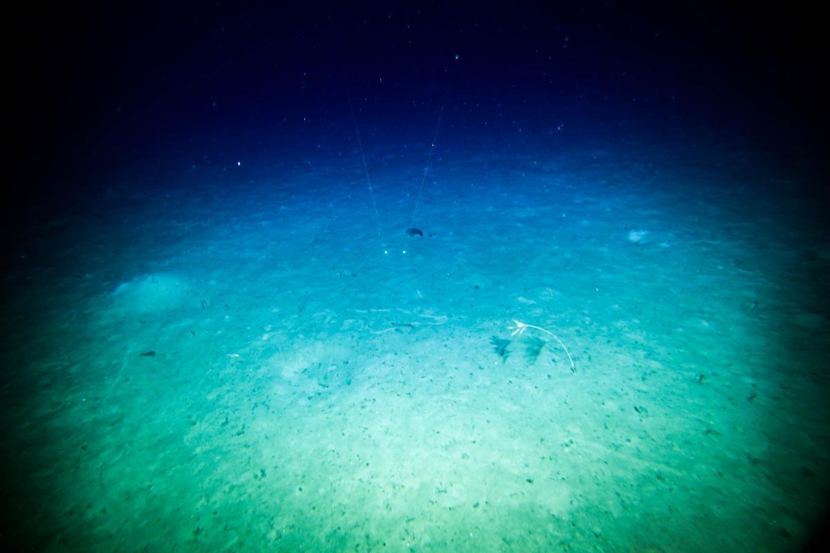
New data will be gathered during field trips to deep-sea regions of the east-coast Australian Marine Park Network and potentially the Cocos Keeling/Christmas Island Territories.
The research will characterise biodiversity in deep water reserves off Australia’s east coast and the environmental and evolutionary drivers that influence biodiversity patterns in Australia’s marine domain, as well as enhancing Australia’s capacity for spatial management.
(Previous project title - Best practice spatial management of marine biodiversity)
Related information