This flythrough combines bathymetry with high-resolution imagery to highlight canyon environments within the Gascoyne Marine Park located offshore northwestern Australia. The Cape Range Canyon is a relatively narrow, linear canyon that initiates on the continental slope, but is connected to the shelf via a narrow channel. The walls of the canyon are steep and reveal a history of slumping and retrogressive failure, that have broadened the canyon over time. The floor contains a series of deep plunge pools, indicative of the action of sediment-laden turbidity currents in further eroding this canyon. Epibenthos within the canyons was relatively sparse and likely regulated by disturbance associated with sedimentation in the canyons. Rock overhangs often supported the highest densities of benthic suspension feeders, including glass sponges, octocorals and ascidians.
Mapping and characterising reef habitat and fish assemblages of the Hunter Marine Park
Abstract:
This is a technical report for the Hunter Marine Park surveys as part of the NESP Marine Biodiversity Hub D3 project. The report summarises five years worth of multibeam echo sounder, towed video, stereo-baited remote underwater video and remotely operated vehicle surveys to provide Parks Australia with baseline information for the Hunter Marine Park. The Hunter Marine Park is located of the mid-NSW coast and continental shelf rocky reef was identified as a key ecological feature of the Park. The MBES surveys mapped 30% of the continental shelf component of the Marine Park and identified approximately 5.5km2 of rocky reef. Towed video surveys found these reefs to covered in a diverse range of sessile invertebrate assemblages. The stereo-BRUV surveys focused on three distinct regions across a depth range of 35-120 m. Up to 112 species of fish were identified, including three threatened and protected species. Each of the three locations were deemed to support a unique species assemblages. However, the patterns in distribution where highly species specific and often related to reef structure and season. These are the first mapping and biological surveys of the Hunter Marine Park region.
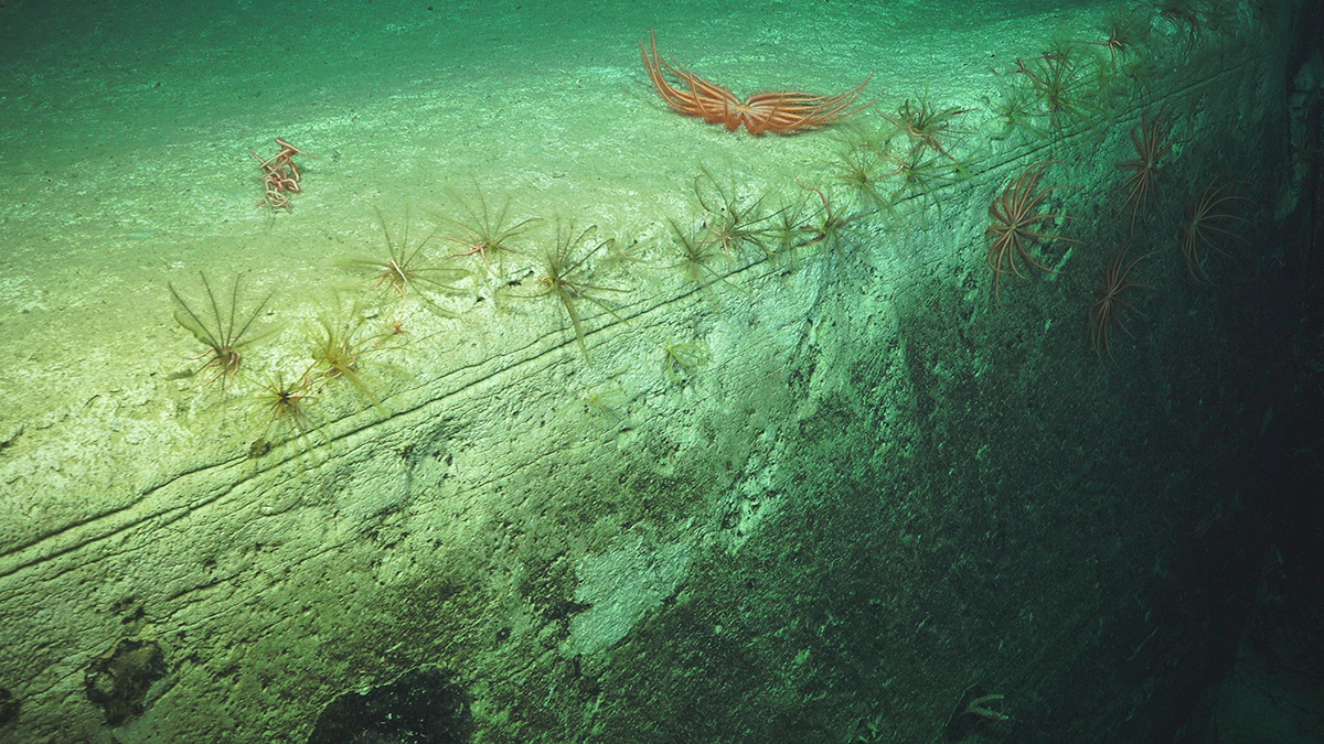
Brittle stars on a cliff edge in Gascoyne Marine Park. Image: Schmidt Ocean Institute ROV SuBastian
Little is known about the deep waters of Australia’s marine parks. While surveys supported by the Marine Biodiversity Hub have visited eastern abyssal depths and Tasmanian seamounts, Western Australian areas were lesser known.